The mountains · 4 min read山地 · 约 4 分钟
Almaty: apples and mountains阿拉木图:苹果与雪山
The old capital under the Tian Shan: wild apples, the Zenkov Cathedral, Green Bazaar, Medeu, Kok Tobe, and a city built for earthquakes.天山脚下的老首都:野苹果、津科夫教堂、绿色巴扎、麦迪奥、科克托别,还有一座为地震而建的城市。
After the desert, Almaty feels almost lush. It's Kazakhstan's biggest city (over 2 million people), its old capital, and still its commercial and cultural heart, a grid of tree-lined streets tilting gently uphill toward a wall of mountains. On a clear day the snow peaks of the Zailiysky (Trans-Ili) Alatau, the northernmost range of the Tian Shan, seem to hang directly over downtown. The city sits at roughly 700 to 900 meters, and the mountains behind it climb to nearly 5,000.
A name about apples
Alma is Kazakh for apple, and the city's Soviet-era name, Alma-Ata, is usually translated as "father of apples." It's not just a pretty name. The foothills here are home to wild apple forests of Malus sieversii, which genetic studies have shown to be the main ancestor of the domesticated apple. The Soviet botanist Nikolai Vavilov traced the apple's origins to these slopes in the 1920s. Much of the wild forest was lost to Soviet-era development, but some survives, and apples remain a local symbol. Look for the big red Aport variety at the market.
From fort to capital
The city began in 1854 as a Russian military outpost, Fort Vernoye, soon the town of Verny. It was renamed Alma-Ata in 1921, became the capital of Soviet Kazakhstan in 1929, and was renamed Almaty in 1993. It remained the capital of independent Kazakhstan until the government moved to Astana in 1997.
Earthquakes and mudflows
Almaty's setting is beautiful and dangerous. Destructive earthquakes hit Verny in 1887 and 1911. The second one, centered to the south in the Kemin valley, flattened hundreds of brick buildings, and also created Lake Kaindy (see Charyn, Kaindy and Kolsai). That's one reason the city's old core is low and spread out, and one of the reasons the capital eventually moved.
The other hazard is the sel, a mudflow of water, boulders and debris that can pour out of the mountain valleys after heavy rain or glacier melt. A mudflow devastated the city in 1921. In 1966 Soviet engineers built the Medeu dam across the valley above the city using a series of massive directed explosions. In July 1973 it caught a huge mudflow that might otherwise have hit Almaty.
What to see
- Ascension (Zenkov) Cathedral. In the middle of Panfilov Park, a pastel, candy-colored Russian Orthodox cathedral finished in 1907, about 56 meters tall and one of the tallest wooden buildings in the world. It's named after its engineer, Andrey Zenkov. Legend says it was built without nails (not quite true), and it came through the 1911 earthquake with little damage. The park is also home to a vast, dramatic Soviet war memorial.
- Green Bazaar (Zelyony Bazar). A few blocks away, the city's great covered market. The trading site dates to the 1870s; the current hall is from the 1970s. Wander the halls of dried fruit and nuts, Korean salads (a legacy of the Koreans deported here in 1937), horse-meat sausages, honey, cheese and piles of apples. Tasting is usually offered.
- Kok Tobe. A hill on the city's southeastern edge with a TV tower, viewpoints and a small amusement park, reached by cable car from near Hotel Kazakhstan. Best around sunset for the view over the city lights.
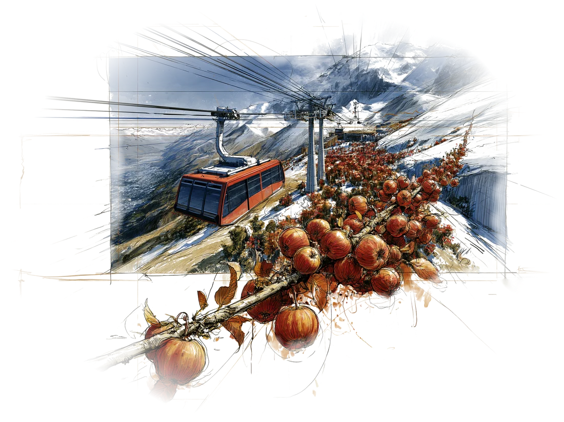
- Medeu and Shymbulak. About 15 km up the valley, the open-air Medeu skating rink sits at 1,691 meters, a Soviet sports landmark where many speed-skating records were set. Above it, a gondola climbs to the Shymbulak ski area and on toward the Talgar Pass. AUYL, our neo-nomad dinner (see Eating Kazakh), is up in this valley too.
How the city feels
Almaty is the most relaxed city in the country: cafés, bookshops, street art, joggers in the parks, and a mix of Kazakh, Russian, Uyghur, Korean and other communities. It's a walking city in the center. Streets running "up" (south) point toward the mountains, and people give directions by that slope: up toward the mountains, down toward the plains. That's handy when the maps app loses you.
In Almaty the mountains are the compass. "Up" means toward the snow.
从沙漠过来,阿拉木图简直称得上郁郁葱葱。这是哈萨克斯坦最大的城市(人口超过两百万),也是旧都,至今仍是全国的商业和文化中心。棋盘般的街道两旁绿树成荫,一路缓缓向上,抬头便是一整面山墙。天气好的时候,天山最北端的支脉**外伊犁阿拉套山(Zailiysky Alatau)**的雪峰仿佛就悬在市中心头顶。城区海拔大约七百到九百米,身后的群山则直逼五千米。
一个关于苹果的名字
哈萨克语里 alma 就是苹果,城市在苏联时期的旧名阿拉木图(Alma-Ata),通常被译作“苹果之父”。这名字不只是好听。附近的山麓分布着野苹果林,树种是新疆野苹果(Malus sieversii),遗传学研究表明,它正是今天栽培苹果的主要祖先。早在二十世纪二十年代,苏联植物学家瓦维洛夫就把苹果的起源追溯到了这片山坡。野生林在苏联时代的开发中损失了大半,但仍有一部分留存下来,苹果也一直是这座城市的象征。逛市场时可以留意一种又大又红的本地品种,叫阿波尔特(Aport)。
从要塞到首都
这座城始于 1854 年的一座俄国军事据点,名叫韦尔诺耶要塞,不久发展为**维尔内(Verny)**城。1921 年改名阿拉木图(Alma-Ata),1929 年成为苏联哈萨克斯坦的首府,1993 年定名 Almaty。独立后它一直是首都,直到 1997 年政府迁往阿斯塔纳。
地震与泥石流
阿拉木图的地势很美,也很凶险。1887 年和 1911 年,维尔内两度遭遇毁灭性地震。第二次震中在南边的克明河谷,震塌了数百栋砖房,也造就了凯因迪湖(见恰伦、凯因迪与科尔赛)。老城区之所以低矮而舒展,这是原因之一;首都最终迁走,这也是原因之一。
另一个威胁叫 sel,也就是泥石流:大雨或冰川融水之后,裹挟着巨石和碎屑的泥流会从山谷里倾泻而下。1921 年一场泥石流重创了这座城。1966 年,苏联工程师在城市上方的山谷里用一系列大规模定向爆破,筑起了麦迪奥大坝。1973 年 7 月,它拦下了一场巨大的泥石流,否则那股泥流很可能直冲阿拉木图。
看什么
- 升天大教堂(津科夫教堂)。 坐落在潘菲洛夫公园中央,是一座糖果色的俄罗斯东正教堂,1907 年落成,高约 56 米,是世界上最高的木结构建筑之一,以工程师安德烈·津科夫命名。传说它一根钉子都没用(其实不尽然),1911 年大地震中也几乎毫发无损。公园里还有一座气势恢宏的苏联卫国战争纪念碑。
- 绿色巴扎(Zelyony Bazar)。 离公园几个街区,是城里最大的室内市场。这里做买卖的历史可以追溯到十九世纪七十年代,现在的大厅建于二十世纪七十年代。干果坚果、韩式凉菜(1937 年被强制迁徙到此的朝鲜族留下的遗产)、马肉肠、蜂蜜、奶酪,还有堆成小山的苹果,一路逛下去。摊主通常乐意让你尝。
- 科克托别。 城东南边上的一座小山,有电视塔、观景台和一个小游乐园,从哈萨克斯坦酒店附近坐缆车上去。最好赶在日落前后,看全城灯火亮起来。
- 麦迪奥与琼布拉克。 沿山谷往上约 15 公里,露天的麦迪奥滑冰场位于海拔 1,691 米,是苏联体育的一座地标,许多速滑世界纪录都在这里诞生。再往上,缆车一路爬升到琼布拉克滑雪场,再往塔尔加尔山口方向去。我们吃“新游牧”晚餐的 AUYL(见吃在哈萨克)也在这条山谷里。
这座城的气质
阿拉木图是全国最松弛的城市:咖啡馆、书店、街头涂鸦、公园里跑步的人,哈萨克人、俄罗斯人、维吾尔族、朝鲜族和其他民族混居一处。市中心适合步行。往“上”(南)走的街道都指向山,本地人指路也按这个坡度来:上是往山那边,下是往平原那边。地图软件把你转晕的时候,这一招很管用。
在阿拉木图,山就是指南针。“往上”,就是往雪山的方向。
Where this shows up on the trip行程里对应的日子