North Island · 5 min read北岛 · 约 5 分钟
The Tongariro Alpine Crossing汤加里罗高山步道
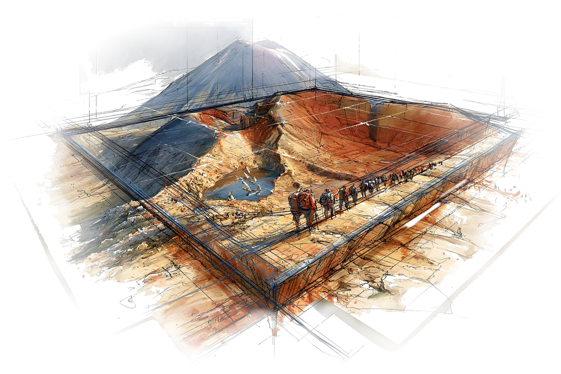
The Tongariro Alpine Crossing is often called the best one-day walk in New Zealand. It's 19.4 km of volcanic landscape: lava flows, a steaming red crater, lakes the color of antifreeze, and a perfectly conical volcano beside the track the whole way up. It is also a real alpine walk, above the tree line, with weather that can turn from pleasant to dangerous within an hour. Both facts deserve respect.
Three volcanoes and a gift
The central North Island sits over a line of active volcanoes. Three stand together here: Ruapehu (2,797 m, the tallest mountain in the North Island), Tongariro (a broad, multi-cratered massif), and Ngāuruhoe (2,291 m), a young, near-symmetrical cone on Tongariro's flank. Ngāuruhoe last erupted in 1975; Tongariro's Te Maari craters erupted in 2012, a short way from the track.
To the local iwi (tribe), Ngāti Tūwharetoa, the mountains are ancestors, not scenery. In the 1880s, as Crown land courts and settler interest threatened to carve the peaks into private lots, the paramount chief Horonuku Te Heuheu Tūkino IV chose to place them under the protection of the whole nation instead. On September 23, 1887, he signed the deed of gift for the summits. Tongariro National Park was established in 1894: New Zealand's first national park, and one of the first in the world. In 1993 it became the first place listed by UNESCO as a cultural landscape, recognizing the spiritual link between Māori and the mountains, on top of its earlier natural listing.
That is why you'll be asked not to climb Ngāuruhoe's summit. It's not illegal, and a steep scree path still goes up, but for Tūwharetoa, the peak is the head of an ancestor. Walking past it is enough.
The route, one way
The Crossing runs one way, from Mangatepopo (about 1,120 m) in the south to Ketetahi (760 m) in the north. Most people take 6 to 8 hours.
- Mangatepopo Valley. An easy, gentle climb along boardwalks over old lava flows, toward the base of Ngāuruhoe.
- Soda Springs and the Devil's Staircase. The first real climb: a steep series of steps up to South Crater. Soda Springs is the last sensible place to turn back if the weather looks bad.
- South Crater and Red Crater. A flat crater floor, then an exposed ridge climb to Red Crater, at 1,886 m the highest point of the track. The rock here is rust-red and steaming, and it is the windiest part of the day.
- The Emerald Lakes. A loose, steep scree descent to three small lakes, colored vivid green by dissolved minerals. This is the classic photo and the usual lunch stop.
- Blue Lake and the long descent. A short climb past Blue Lake (Te Wai-whakaata-o-te-Rangihīroa), then a long zigzag down past Ketetahi's steaming vents, with views north over Lake Taupō, into beech forest and the Ketetahi car park.
The lakes are sacred. Don't swim, touch the water, or eat on the shore at Blue Lake.
Weather and preparation
The mountain makes its own weather. Summer days that begin warm in the valley can bring gale-force wind, freezing rain, low cloud or even snow on Red Crater. The Department of Conservation (DOC) publishes a hazardous-weather advisory when the wind is forecast above about 55 km/h, gusts above 70 km/h, or wind chill below −10°C. Shuttle operators will not run on those days, and you shouldn't go.
Bring: a real waterproof jacket, warm layers (fleece, hat, gloves), at least 2 liters of water per person (there's none to drink along the way), lunch and snacks, sunscreen, sunglasses, and sturdy shoes with grip for the scree. There are toilets every one to two hours. Start early.
Shuttles and parking
Because the track runs one way, you need transport between two points 20 km apart by road. Take a licensed shuttle. In summer there's no Crossing parking at the Mangatepopo road end, and the other road-end car parks have a 4-hour limit. Shuttles run from National Park Village, Whakapapa, Tūrangi and Taupō. The usual model is to park at Ketetahi's secure private car park (or your lodging), ride to Mangatepopo in the morning, and walk back to the car. Book the shuttle ahead, and book the Crossing itself on the DOC website (it's free). Check the day before: the shuttle company will cancel if the weather is unsafe, and you'll want a backup day if possible.
Lake Taupō: the supervolcano next door
From the descent you'll see Lake Taupō, New Zealand's largest lake, about 616 km². It isn't a normal lake. It fills the caldera of the Taupō Volcano, source of the Oruanui eruption about 25,500 years ago, the most recent "supereruption" on Earth, which blasted out more than 1,100 km³ of material. Its most recent major eruption, the Hatepe eruption around 232 CE, was one of the most violent anywhere in the last 5,000 years. The volcano is still active and closely monitored, but the lake is now a calm place for swimming, trout fishing and a walk to Huka Falls. After a long day on the Crossing, a soak in one of Taupō's hot pools is the right way to end it.
The mountains were given to the nation so that no one would own them.
汤加里罗高山步道常被称作新西兰最好的一日徒步。全程 19.4 公里,一路都是火山地貌:熔岩流、冒着热气的红色火山口、绿得像防冻液一样的湖,还有一座近乎完美的圆锥形火山,从头到尾就立在步道旁边。它同时也是一条货真价实的高山路线,全程在林线以上,天气可以在一个小时里从晴好变得凶险。这两件事,都得当回事。
三座火山,一份馈赠
北岛中部压在一串活火山上,其中三座在这里并肩而立:鲁阿佩胡山(2797 米,北岛最高峰)、汤加里罗山(一座宽厚、布满多个火山口的山体),以及瑙鲁霍伊山(2291 米),一座长在汤加里罗山侧翼、年轻而近乎对称的锥形火山。瑙鲁霍伊山上一次喷发是 1975 年;汤加里罗山的 Te Maari 火山口 2012 年喷过一次,离步道不远。
对当地部落(iwi)Ngāti Tūwharetoa 来说,这几座山是祖先,不是风景。19 世纪 80 年代,殖民政府的土地法庭和白人移民都盯上了这片土地,山峰眼看要被切成私人地块。大酋长 Horonuku Te Heuheu Tūkino 四世另有打算:与其让人瓜分,不如交给整个国家来守护。1887 年 9 月 23 日,他签下了赠予山顶的契约。汤加里罗国家公园于 1894 年设立,是新西兰第一座国家公园,放眼全世界也是最早的几座之一。1993 年,它又成为联合国教科文组织第一个以“文化景观”身份列入的遗产地,承认的正是毛利人与这几座山之间的精神联系;在此之前,它已凭自然价值入选。
所以,你会被请求不要登瑙鲁霍伊山顶。这并不违法,一条陡峭的碎石路至今还通上去,但对 Tūwharetoa 人来说,山顶就是祖先的头。从旁边走过,就够了。
路线:单程穿越
这条步道是单向的,从南边的芒阿特波波(Mangatepopo,海拔约 1120 米)走到北边的凯特塔希(Ketetahi,760 米)。大多数人要走 6 到 8 个小时。
- 芒阿特波波谷。 沿着铺在老熔岩流上的木栈道缓缓上坡,走向瑙鲁霍伊山脚。
- 苏打泉和魔鬼阶梯。 第一段真正的爬升:一长串陡峭的台阶,一直爬上南火山口。如果天气看着不对,苏打泉是最后一个该掉头的地方。
- 南火山口和红火山口。 先是一片平坦的火山口底,然后是一段毫无遮挡的山脊,爬上红火山口,海拔 1886 米,全程最高点。这里的岩石是铁锈红色,处处冒着热气,也是一整天风最大的地方。
- 翡翠湖。 一段又陡又松的碎石下坡,通往三个小湖,湖水里溶着矿物质,绿得晃眼。这是最经典的照片,也是大家通常吃午饭的地方。
- 蓝湖和漫长的下坡。 短短爬一段,经过蓝湖(Te Wai-whakaata-o-te-Rangihīroa),然后是一段很长的之字形下坡,途经凯特塔希冒汽的喷气孔,北望陶波湖,最后钻进山毛榉林,走到凯特塔希停车场。
这几个湖都是神圣的。不要下水,不要碰湖水,也不要在蓝湖边吃东西。
天气与准备
这座山自己造天气。夏天山谷里暖洋洋地出发,到了红火山口却可能是大风、冻雨、低云,甚至下雪。新西兰保护部(DOC)在预报风速超过约 55 公里/小时、阵风超过 70 公里/小时,或风寒温度低于零下 10°C 时,会发布危险天气提示。这种日子接驳车不开,你也不该去。
**要带:**一件真正防水的外套,保暖衣物(抓绒、帽子、手套),每人至少 2 升水(路上没有可以喝的水),午饭和零食,防晒霜,墨镜,以及抓地力好、能应付碎石坡的结实鞋子。沿途每隔一到两个小时有厕所。早点出发。
接驳车与停车
步道是单程的,两头的路口走公路相距 20 公里,所以得解决交通。**请坐有执照的接驳车。**夏季芒阿特波波路口不给走步道的人停车,其他路口停车场限停 4 小时。接驳车从国家公园村(National Park Village)、法卡帕帕(Whakapapa)、图朗伊(Tūrangi)和陶波发车。常见的做法是:把车停在凯特塔希那头的私营看管停车场(或者住处),早上坐接驳车到芒阿特波波,一路走回车边。接驳车要提前订,步道本身也要在 DOC 网站上预约(免费)。前一天再确认一次:天气不安全,接驳车公司会取消,能留一个备用日最好。
陶波湖:隔壁的超级火山
下山路上一直能看到陶波湖,新西兰最大的湖,面积约 616 平方公里。它可不是一个普通的湖。湖盆本身就是陶波火山的破火山口。约 25500 年前,这里发生了奥鲁阿努伊喷发,是地球上最近的一次“超级喷发”,喷出的物质超过 1100 立方公里。它最近一次大喷发是公元 232 年前后的哈特佩喷发,是过去五千年里全世界最猛烈的喷发之一。这座火山至今仍然活跃,被严密监测着;而湖面如今风平浪静,游泳、钓鳟鱼都行,还可以去看胡卡瀑布。走完一整天的步道,泡一泡陶波的温泉,才算圆满收尾。
这几座山被交给了整个国家,为的是谁都不能占有它们。
Where this shows up on the trip行程里对应的日子