Before you go · 2 min read出发之前 · 约 2 分钟
About this trip关于这趟旅行
North capital, Caspian desert, southern mountains: how the route is shaped and how to use this site.北方首都、里海荒漠、南方雪山:路线怎么走,这个网站怎么用。
Ten days, three flights inside the country, and three completely different Kazakhstans: a planned capital on the northern steppe, a chalk-white desert on the Caspian that used to be the floor of an ocean, and a green southern city backed by snow mountains. The trip runs Beijing → Astana → Aktau → Almaty → Beijing, September 22 to October 1.
The shape of the route
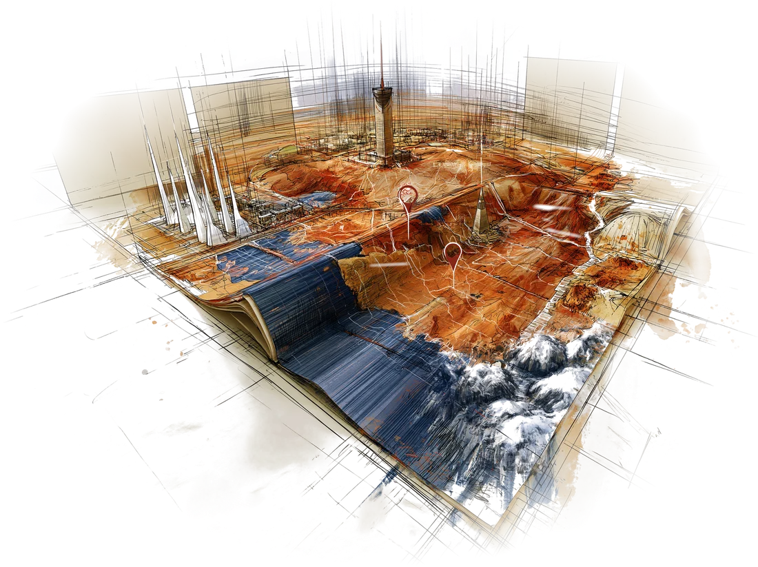
Think of it as a triangle drawn across the ninth-largest country on Earth.
- The capital (Sep 22–24). Two nights in Astana, the city Kazakhstan built from scratch after moving its capital north in 1997. Futurist towers, a gold egg on a stalk, a giant tent, and the wide, flat steppe right up to the edge of town.
- The desert (Sep 24–27). A flight southwest to Aktau on the Caspian Sea, then three days of 4x4 driving and camping in Mangystau: stone balls at Torysh, the "castles" of Airakty, the Tuzbair salt flat, the white fangs of Bozzhyra, and the striped "Tiramisu" hills of Kyzylkup. No hotels, very little signal, enormous skies.
- The mountains (Sep 27–30). A flight east to Almaty, the old capital, for a historic-center Airbnb, dinner at AUYL up near Medeu, and one long day out to Charyn Canyon and the Kaindy and Kolsai lakes. Then the night flight home.
The country runs on a single time zone, UTC+5, three hours behind Beijing, so Aktau and Almaty share a clock even though they sit about 2,000 km apart.
How to use this site
The itinerary is the day-by-day plan: times, flights, addresses, what each day holds. This primer is the background reading, short essays you can open on a plane or in a tent:
- Before you go. This page and Kazakhstan in five minutes.
- The capital. Astana.
- The desert. Mangystau.
- The mountains. Almaty and Charyn, Kaindy and Kolsai.
- Practicalities. Eating Kazakh and money, apps and getting around.
- Background. A short reading and watching list.
None of it is required. If you only read two, make them the Mangystau essay (the landscape makes more sense once you know it was a seabed) and money and apps (so the first taxi goes smoothly).
十天,三趟国内航班,三个截然不同的哈萨克斯坦:北方草原上一座规划出来的首都,里海边一片曾是海底的白垩荒漠,还有南方一座背靠雪山的绿色城市。路线是 北京 → 阿斯塔纳 → 阿克套 → 阿拉木图 → 北京,9 月 22 日出发,10 月 1 日回。
路线的形状
不妨把它想成一个三角形,斜斜画在这个世界第九大的国家上。
- 首都(9 月 22–24 日)。 在阿斯塔纳住两晚。1997 年哈萨克斯坦把首都北迁,这座城几乎是平地起高楼造出来的:未来感十足的高楼、一根金杆托着的金蛋、一顶巨型帐篷,而平坦开阔的草原一直铺到城边。
- 荒漠(9 月 24–27 日)。 往西南飞到里海边的阿克套,接下来三天坐四驱越野、露营,深入曼格斯套:托雷什的石球、艾拉克特的“城堡”、图兹拜尔盐湖、博兹日拉的白色“獠牙”,还有克孜勒库普那片条纹分明的“提拉米苏”山。没有酒店,信号时有时无,天大得出奇。
- 雪山(9 月 27–30 日)。 往东飞到老首都阿拉木图,住老城区的 Airbnb,到麦迪奥附近的 AUYL 吃晚饭,再花一整天跑一趟恰伦峡谷、凯因迪湖和科尔赛湖。最后搭夜班飞机回家。
全国只用一个时区,UTC+5,比北京晚三小时。所以阿克套和阿拉木图虽然相隔约 2000 公里,表上却是同一个时间。
这个网站怎么用
行程页是逐日安排:时间、航班、地址、每天干什么。这份导读则是背景读物,一篇篇短文,飞机上、帐篷里都能翻开看:
- 出发之前。 本页,以及五分钟读懂哈萨克斯坦。
- 首都。 阿斯塔纳。
- 荒漠。 曼格斯套。
- 雪山。 阿拉木图,以及恰伦、凯因迪与科尔赛。
- 实用信息。 哈萨克吃什么,以及钱、App 和出行。
- 延伸阅读。 一份简短的书单和片单。
都不是必读。如果只看两篇,就看曼格斯套(知道那里曾是海底,眼前的风景才说得通)和钱与 App(第一次打车才不会手忙脚乱)。