Before you go · 3 min read出发之前 · 约 3 分钟
About this trip关于这趟旅行
Three weeks, two islands, one long line drawn from the bottom of the country to the top. The trip starts in Queenstown in late January and ends in Auckland in mid-February, roughly January 26 to February 14, at the height of the southern summer. It's mostly a road trip: a rental car, a lot of scenery through the windshield, and a few days where the car gets parked and the hiking boots come out.
The shape of the route
The route runs south to north, which is the natural way to see New Zealand. The South Island is the wilder, emptier, more mountainous half; the North Island is warmer, more volcanic and home to most of the people. Going in this order, the landscape slowly shifts from ice and granite to steam and forest.
- The deep south (start). Land in Queenstown, the adventure capital on the shore of Lake Wakatipu, then drive southwest to Te Anau and down the Milford Road to Fiordland and Milford Sound: sheer cliffs, waterfalls and a great deal of rain.
- The Southern Alps. North over the Crown Range to Wānaka and the climb up Roy's Peak, then across the dry, golden Mackenzie Basin to Twizel and the foot of Aoraki/Mt Cook, the country's highest mountain. See The Southern Alps.
- The West Coast. Over the Alps by Arthur's Pass to the rain side of the island: rainforest, the gold-rush and greenstone town of Hokitika, and the layered limestone at Punakaiki, then inland through the Buller Gorge. See The wild West Coast.
- Marlborough and the crossing. Down the Wairau Valley to two nights in Blenheim and an afternoon of cellar doors in New Zealand's sauvignon blanc country, then to Picton for the Interislander ferry through the Marlborough Sounds and across Cook Strait to Wellington. See Marlborough & Cook Strait.
- The volcanic middle. From the capital, up to the volcanoes of the central plateau for the Tongariro Alpine Crossing on February 8, then Lake Taupō and the geysers and Māori culture of Rotorua.
- The finish. Auckland, the country's biggest city, and the flight home.
The main islands share a single clock. In summer that's New Zealand Daylight Time, UTC+13, five hours ahead of Beijing. Summer days are long: in the far south the sun doesn't set until after 9 p.m. in late January, which makes long driving days much easier than they look on paper.
How to use this site
The itinerary is the day-by-day plan: drives, ferry times, where we're sleeping, what each day holds. This primer is the background reading, short essays to open on a ferry deck or in a motel room the night before:
- Before you go. This page and New Zealand in five minutes.
- South Island. Fiordland and Milford Sound, The Southern Alps, The wild West Coast and Marlborough & Cook Strait.
- North Island. Tongariro and Rotorua.
- Practicalities. Driving in New Zealand, what to eat, and money, apps and phones.
- Background. A short reading and watching list.
None of it is required. If you read only two, make them driving (the roads are narrow, winding and on the left) and Fiordland (so the sandflies don't come as a surprise).
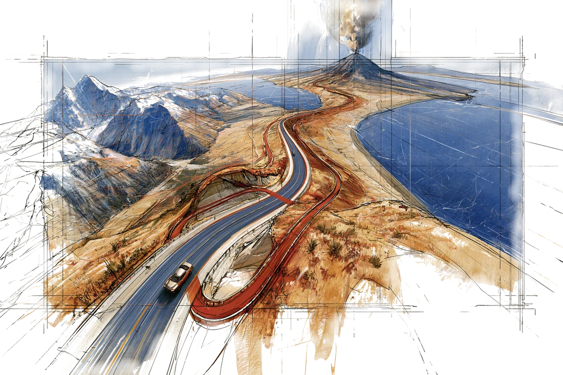
Start with the ice, end with the steam: the route runs from the glaciers under Aoraki in the south to the geysers of Rotorua in the north.
三个星期,两座岛,一条从国土最南端一路拉到最北端的长线。旅程一月下旬从皇后镇出发,二月中旬在奥克兰收尾,大约是 1 月 26 日到 2 月 14 日,正赶上南半球盛夏。这基本是一趟自驾:一辆租来的车,挡风玻璃外源源不断的风景,中间还有几天把车停下,换上登山靴。
路线的形状
路线是自南向北,这也是看新西兰最顺的走法。南岛更野、更空旷、山更多;北岛更暖和,火山更多,全国大部分人也住在那边。照这个顺序走下来,眼前的风景会从冰川和花岗岩,慢慢换成地热蒸汽和森林。
- 南方深处(起点)。 飞抵瓦卡蒂普湖畔的皇后镇,这座“极限运动之都”。然后往西南开到蒂阿瑙,再沿米尔福德公路一路下到峡湾国家公园和米尔福德峡湾:刀削般的峭壁、瀑布,还有下不完的雨。
- 南阿尔卑斯山。 往北翻过皇冠山脉到瓦纳卡,爬一趟罗伊峰;再穿过干燥金黄的麦肯齐盆地,到特威泽尔,来到全国最高峰库克山(奥拉基)脚下。详见南阿尔卑斯山。
- 西海岸。 经亚瑟隘口翻过南阿尔卑斯山,到岛屿多雨的那一侧:雨林、靠淘金和绿玉起家的霍基蒂卡、普纳凯基层层叠叠的石灰岩,再折进内陆穿过布勒峡谷。详见狂野西海岸。
- 马尔堡和跨海。 顺着怀劳河谷开进布莱尼姆,在新西兰的长相思之乡住两晚,花一个下午逛酒庄;再到皮克顿搭岛际渡轮(Interislander),穿过马尔堡峡湾、横渡库克海峡,抵达惠灵顿。详见马尔堡与库克海峡。
- 火山腹地。 从首都北上中部高原的火山群,2 月 8 日走汤加里罗高山徒步,之后是陶波湖,以及以间歇泉和毛利文化闻名的罗托鲁瓦。
- 终点。 全国第一大城市奥克兰,然后搭飞机回家。
南北两岛用同一个时区。夏天是新西兰夏令时,UTC+13,比北京快五个小时。夏天白昼很长:一月下旬在最南边,太阳要到晚上九点以后才落山,所以那些看上去很长的开车日,实际上并没有那么赶。
这个网站怎么用
行程页是逐日安排:开多远的车、渡轮几点开、晚上住哪儿、每天干什么。这份导读则是背景读物,一篇篇短文,适合在渡轮甲板上、或者前一晚在汽车旅馆里翻开看:
- 出发之前。 本页,以及五分钟读懂新西兰。
- 南岛。 峡湾国家公园与米尔福德峡湾、南阿尔卑斯山、狂野西海岸和马尔堡与库克海峡。
- 北岛。 汤加里罗和罗托鲁瓦。
- 实用信息。 在新西兰开车、吃什么,以及钱、App 和手机。
- 延伸阅读。 一份简短的书单和片单。
都不是必读。如果只看两篇,就看开车(路窄、弯多,还是靠左行驶)和峡湾(免得被沙蝇打个措手不及)。
从冰开始,以蒸汽收尾:这条路线从南边奥拉基山下的冰川,一直走到北边罗托鲁瓦的间歇泉。